As a proudly New Zealand company, we stand by the understanding that this Māori proverb connotes, that to understand where you’re headed, you need to reflect on what has come before.
At TracPlus, we believe that the past informs our future. Our best innovations come not only when we lift our eyes to the skies but when we reflect on over a decade working with our customers and understanding the tools that they need and the market they serve.
Standing on the Shoulders of Giants
In 2008, we helped NAFC (National Aerial Firefighting Centre) establish AFAMS, Australia’s national aircraft tracking system. AFAMS has played a key role in the coordination and management of over 500 firefighting aircraft over the last decade, but it was only made possible by the existence of the US Forest Service AFF system which established a set of industry standards for the effective delivery and integration of tracking data from many tracking providers.
Similarly, in 2014, when NAFC wished to collect bucket and tank events, such as fills and drops, new protocols based on the USFS standards made this integration of complex new information possible.
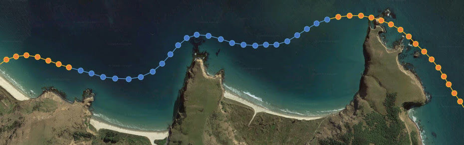
Off the Known Path
Since 2017, we’ve been working hard to further improve operational collaboration and coordination, from effective and reliable text messaging to the tracking of drones and the delivery of geospatial information to and from the cockpit.
But collectively, we are now facing new territories with undiscovered challenges and opportunities, with few standards to build upon.
Currently, there are few standards for the tracking and integration of drones in the airspace. There are proprietary Unmanned Traffic Management (UTM) systems, but they have yet to be effectively woven into the complex tapestry of goal-common, mission-complex and asset-diverse arenas such as airborne firefighting.
Similarly, there are no established standards for cross-network, cross-device real-time text messaging, nor do there exist standards for the real-time delivery of geospatial information to and from the cockpit.
In the absence of standards and protocols, we now run the risk of multiple proprietary closed systems and competing standards that will severely constrain the market and level of global interoperability and innovation that Australia has driven over the last 10 years.
“If you want to go fast, go alone. If you want to go far, go together — African Proverb”
So — TracPlus is now working with NAFC and other industry partners to create and promote an open set of protocols and standards which will allow us as an industry to all take the next step together.
An Open, Cross-Platform, Global Messaging protocol
The first of these standards is a cross-platform messaging protocol that allows the delivery of text messages anywhere across the firefighting ecosystem.
This new standard has already been implemented in our own platform and allows the real-time point to point and broadcast delivery of text messages from air to ground, ground to air, and air to air — regardless of the hardware, software, satellite, cellular, or radio network in use. And once you can deliver text message anyway, you can deliver geospatial information anywhere such as points, lines, polygons, and volumes.
This new standard will make it possible for any equipment provider to transmit and receive geospatial information anywhere in our collective ecosystem, regardless of the hardware, software or communications network in use - and will be available to anyone in our industry.
It’s not too difficult to imagine potential applications for this capability.
A spotter/observer could draw a fire line on an EFB in the cockpit, and transmit it to a mapping system at a forward operating base.
An operating air controller could draw a straight line on a map and deliver it directly to the moving map of a lead aircraft for a VLAT.
A ground crew about to be called in a flashover could send their position instantly to the nearest aircraft with a load of retardant on board.
An augmented reality helmet combined with an infrared camera sensor could deliver hot spot location data to a swarm of autonomous drones to deliver water during the lower temperatures at night.
The Future
As technologists in a mission-critical service industry, we have a collective responsibility to remove unnecessary barriers to cooperation and collaboration, because our customers who put themselves in harm’s way to save others have a reasonable expectation that our systems should work together. Innovation will continue to drive new capabilities, and new commercial opportunities, but our customers’ ability to choose must come first.
TracPlus is proud to champion the vision of an interconnected ecosystem in which our first responders have the flexibility and choice they need to complete their mission. Who’s with us?