In any organisation that requires the tracking of assets, it’s vital to be able to glean information at a glance. This is why tracking reports displayed as dots on a map are incredibly helpful, but being able to extricate that data from those reports, is how we gather a greater picture — it’s about giving that data meaning.
We’ve nailed the ‘Trac’ in our name, but now it’s time to highlight the ‘Plus’ — we go beyond simply tracking, all with the goal to make your lives easier.
Let’s have a look at why TracPlus is one of the best in the business.
1. We play nice with others
2. We keep a watchful eye on your data
3. Communicate, collaborate and coordinate
4. It's designed to best suit you
5. Easily see what your assets are doing and why
We play nice with others
We have the ability to display tracking information from major GPS Tracking Providers from around the world within our software platforms, as well as providing our own trackers from our trusted suppliers. This allows complete transparency and awareness on any job that might be using assets that do not use the same tracking provider. Using TracPlus, you can view all of that data, in one common place. This is a surefire way to allow the flight followers back at base to focus on the mission at hand, rather than navigating between programs to figure out where everyone is in relation to one another.
Keep a watchful eye on your data
We allow users to View/Export their data from the beginning of time!
No matter when you started tracking with us, we securely store your data so that you can access it at any time. If you’d like to scroll back to any day within our software, then your data will be there ready and waiting to be viewed. Similarly, if you’d like to export your tracking data as a KMZ or CSV file, then you can choose any day to export as well. Exporting is especially useful if you need a third party to have complete oversight of your tracking after the fact. All it takes is a few clicks of your mouse!
Communicate, collaborate and coordinate
We give you the ability to send comprehensive forms and texts straight from your tracking device!
When using a Bluetooth capable device such as a RockSTAR, RockFLEET or a RockAIR, you can customise and fill out an ever-growing list of forms as well as send text messages as if you were using a cellphone. Using the devices satellite connection, you can send forms and messages from anywhere in the world back to our servers to be displayed as a tracking position report on the software. These reports can subsequently be exported and filed for use. This negates the need for hours of written paperwork. The best part is that the forms can be pre-populated with known information!
It’s designed to best suit you
Our software is customizable, meaning you can add layers to the map so that everything is visible at a glance!
TracPlus Pro is capable of loading custom layers to our mapping software. This means you can overlay vital information such as weather forecasts, unique airstrip information, hazards or anything else that is vital for a particular mission!
All you have to do is convert any file you’ve got into KML format. This can be done with nifty tools such as GPS Visualizer. Simply load the GPS positions in, choose the format you want (.KML if you’d like to use it in TracPlus Pro), click convert and there you have it! Overlay it straight to the map for increased situational awareness!
Easily see what your assets are doing and why
We provide specific report types so that you can see exactly what your assets are doing.
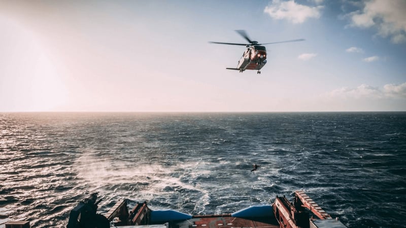
Our tracking devices can be used to comprehensively display the journey and movements of an asset. If you’d like to configure your tracker to automatically display take off reports so that you know when your helicopters are airborne, or if you’d like your team to manually send ‘Point of Interest’ messages whenever they see something interesting at sea, then we can 100% do that.
By customising the events to your preference, you can have a detailed track that shows when the asset took off, when it landed, when it sent a text message or a form, when it exceeded its ascent or descent threshold, or whatever information your team requires — all of which gives you mission information at a glance.
Our foremost goal here at TracPlus is to make your lives safer and easier.
Not only do we provide you with the dots on a map but we give you the tools to streamline your processes, ensure a safe working environment, and ultimately provide a tool that will improve your day to day operations — and we do it well!