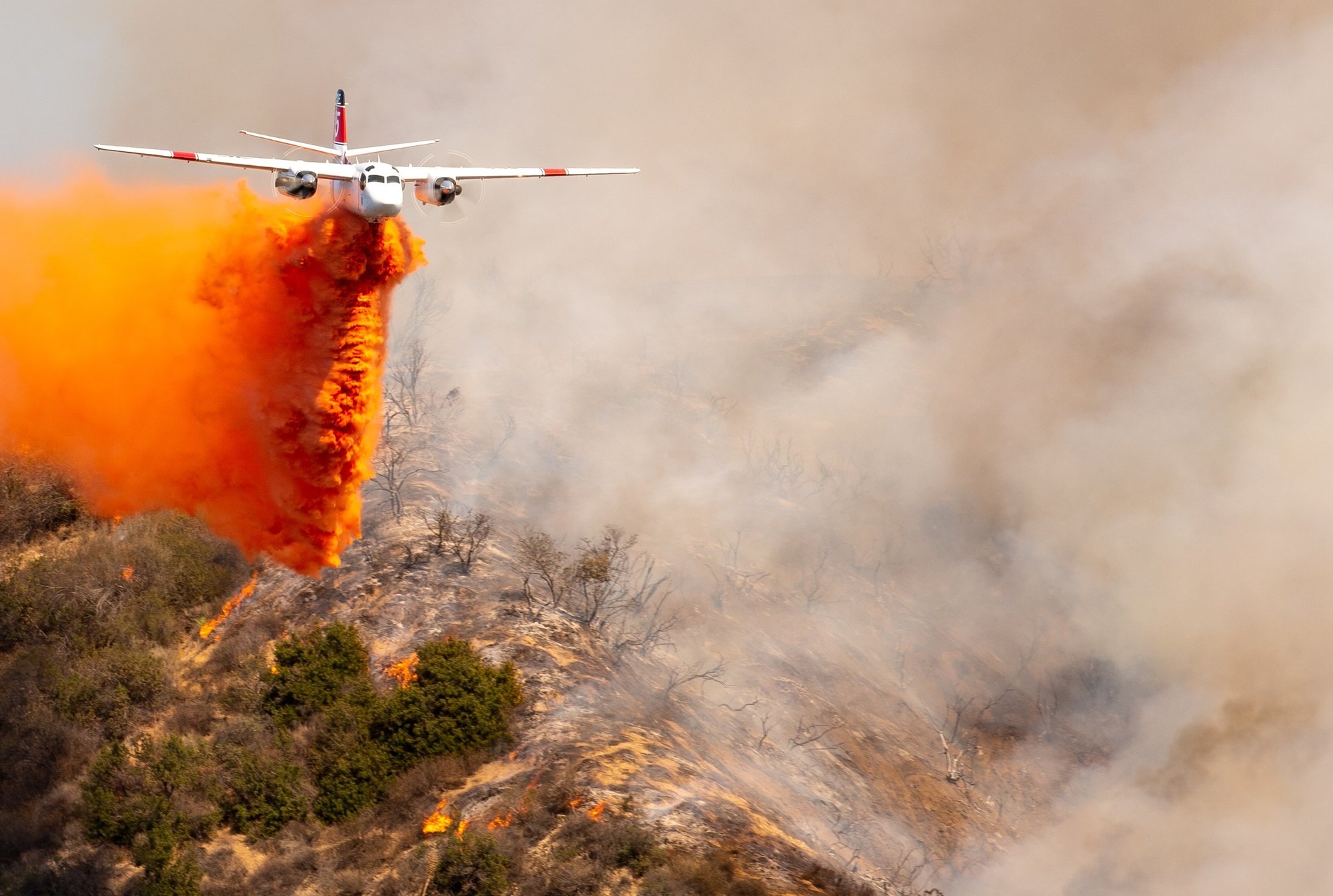
Comprehensive insights for better mission outcomes.

Advanced reporting tools for agencies and operators to track and analyse firefighting missions, offering real-time and historical insights into fill rates, drop counts, volumes, and more.


fireflyte-logo-rev


What did your fleet actually deliver?

When a fire season ends, agencies need to understand more than what was spent; they need to know how their aerial resources actually performed. Without structured mission data, evaluating contractor performance, comparing aircraft efficiency, or planning the next season relies on incomplete information. FireFlyte changes that.

FireFlyte Logo-small

Experience unmatched clarity on your aerial firefighting operations and make every drop count with FireFlyte.

Trusted by 700+ customers in over 40 countries worldwide

  • CAL FIRE
  • Kestrel
  • Titan
  • CHI
  • NAFC
  • McDermott
  • Heli Korea

View your mission metrics like never before.
Gain instant insights into your aerial firefighting activity over any period. Our high-level summaries, paired with drill-down capabilities ensure you have all the data you need at your fingertips.


Detailed Mission Metrics

Monitor fill rates, drop counts, volumes, and lengths with precision. Understand your operations like never before. 

Easy Data Filtering

Dive deeper with ease. Filter data by drop type or aircraft model with a simple click for a quick comparison of aircraft efficiency or to focus on the specifics of your operation. 

Customized Reports

Aggregate data based on what matters most, whether its drop type (water or retardant), aircraft model, mission type, or individual aircraft.

Simplified compliance & proof of delivery

Compliance and reporting burdens are substantially reduced. Access all your necessary data in an accessible format with ease, reducing the time and effort needed for these crucial tasks.

Accountability & efficiency

Accountability is promoted by providing accurate, detailed data about operations. This transparency allows teams to track and evaluate their performance over time, identify areas for improvement, and ensure resources are used effectively and responsibly.

Data-driven Strategies

FireFlyte’s customized reporting enables the development of future strategies tailored to specific situations, fostering improved coordination and proactive resource management for better mission outcomes.

FIREFLYTE

Powered by TracPlus

Built on 20 years of TracPlus' experience in the industry, FireFlyte, powered by TracPlus, is designed to deliver deep insights into safety, finance, and operational performance for aerial firefighting agencies and operators. FireFlyte gives you a real-time view of aircraft, drops, and operations - so you can coordinate faster, respond with confidence, and maximize mission effectiveness. 

OVER

97 million gallons

of drops recorded in our platform in 2025.

OVER

800,000
flight hours 

of data processed annually, worldwide.

OVER

20 years

of global tracking and telemetry data.


BENEFITS

Benefits of TracPlus for aerial firefighting

Verifiable aerial insights

Real-time tracking of aerial assets, their trajectories, and event data. Pilots and command centres have a real-time view of the aerial battlefield, ensuring each move is strategic and calculated.

Dynamic decision support

Access to real-time data and analytics for swift decision-making. Incident Commanders can adjust their strategies in-flight, responding to evolving fire patterns and ground team updates.

Common operating platform

Integration of aerial, vehicle, and ground-based tracking and firefighting event data from various systems. All units, irrespective of their tracking service provider, can be coordinated from a single hub, ensuring a unified response.


Enhanced additional telemetry

Advanced Additional Telemetry Unit (ATU) and real-time tracking solutions. Simplifies the task of meeting strict reporting requirements set by bodies like the US Forest Service and NAFC.

Enhanced safety protocols

Continuous monitoring, automated alerts, and distress signals for aerial teams. Pilots operate with the assurance of being monitored, and help can be dispatched immediately in emergencies.

Precise water drop analysis

Accurate tracking of water pick-up and drop-off locations, including volume of water. Increases the efficiency and effectiveness of aerial water bombing operations.


Cost-effective operations

Dual cellular/satellite connectivity with flexible tracking rates. Allows for efficient operations with no risk of disconnection, while optimising cost-effectiveness.

Collaborative data sharing

Ability to share aerial data with other firefighting entities. Facilitates a more comprehensive and collaborative aerial response, pooling resources and insights for a more effective firefighting strategy.

Aero Santa Cruz
SPOTLIGHT:

Aero Santa Cruz Ltda

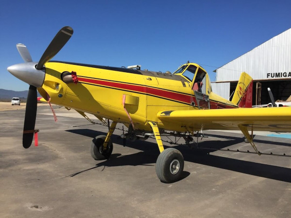
Aero Santa Cruz run aerial fire operations and agricultural throughout Chile.

"I don’t have any doubt that TracPlus will be key in any future emergency situation where we need to save a pilot’s life."

Milton Cabello, Pilot and Operations Manager, Aero Santa Cruz

WHITEPAPER
AI Makes The Call. Who Answers For It?

Accountability, Authority, And The Data Infrastructure That Makes Ethical AI Possible In Wildland Firefighting.

When AI makes the call - Header image

Ready to transform your mission data into actionable insights?